GeonMAI
AI-Driven Digital Earth Mineral Exploration Services
A global leader in AI-powered, space–air–ground integrated mineral exploration, GeonMAI combines cutting-edge technologies in artificial intelligence, geospatial big data, spatiotemporal analytics, and unmanned exploration to deliver efficient, precise, and cost-effective solutions for global mineral resource exploration and development.
AI-Powered Automated Mineral Prediction and Rapid Modeling
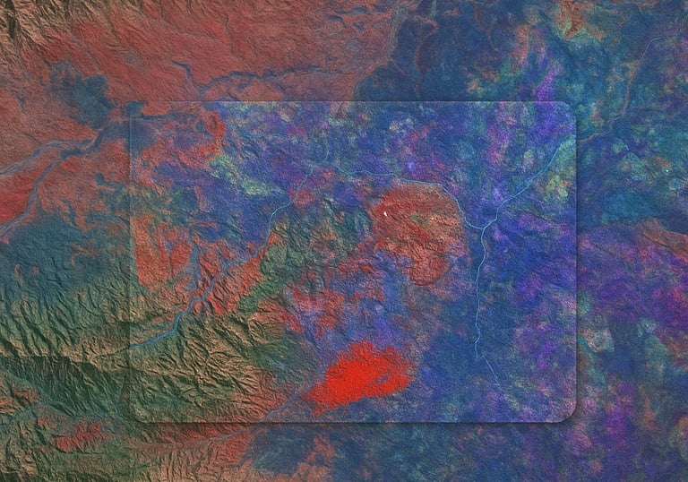
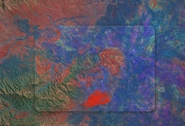
GeonMAI’s proprietary AI alteration algorithms and digital Earth platform enable intelligent identification and rapid modeling to precisely target mineralization zones.
GeonMAI develops proprietary Earth observation processing algorithms to build a GB-scale high-quality satellite database, while its self-developed AI agent system enables multi-source geoscience data fusion and intelligent analysis.
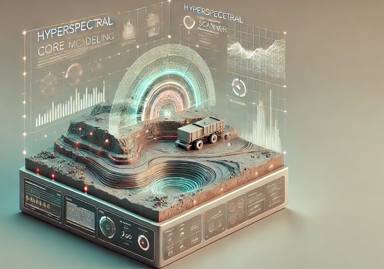
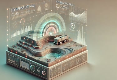
GeonMAI integrates unmanned systems to develop an intelligent exploration platform, enabling automated operations for hyperspectral imaging, intelligent sampling, and on-site analysis.
AI Agents and Global Mineral Big Data
Intelligent Mineral Exploration System
Vision: Transform Digital Earth into Value
Mission: Empower Sustainable Mining through AI-Driven Spatiotemporal Intelligence
About US
GeonMAI Resources Technology is a global leader in AI-powered intelligent mineral exploration and investment. The company integrates artificial intelligence, geospatial big data, spatiotemporal analytics, and unmanned exploration technologies to deliver efficient, precise, and cost-effective solutions for global mineral resource exploration and development.
GeonMAI focuses on key strategic minerals such as lithium, copper, nickel, rare earth elements, cobalt, antimony, and high-purity quartz, providing services in geological information, intelligent exploration, mineral rights investment, and supply chain management. The company serves Chinese state-owned enterprises, international mining funds, and global mining companies, contributing to the sustainable development of mineral resources worldwide.


Integrated Space–Air–Ground AI Mineral Exploration System
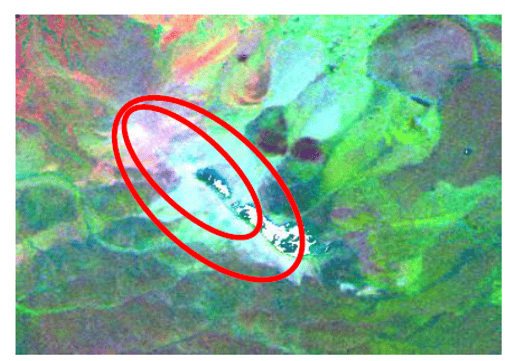
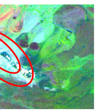
Remote Sensing–Based Intelligent Targeting
AI agents rapidly identify and delineate prospective mineralized zones.
Massive Multispectral/Hyperspectral Satellite Remote Sensing Database
AI Algorithm Library for Geospatial Data Processing
Mineral Resource Modeling Database
AI Intelligent Agent for Global Mineral Prediction
Autonomous Intelligent Exploration
Enhancing the success rate of mineral discovery.
UAVs + Exploration Robots → High-Precision Surveys in Extreme Environments
AI Data Fusion → Mineralization Distribution Modeling
Hyperspectral Core Scanning → Precise Analysis of Ore Composition and Structure
AI-Based Resource Estimation + 3D Modeling → Optimized Prediction
AI-Driven Mining Simulation → Reduced Costs and Enhanced Economic Efficiency
Orebody Modeling and Intelligent Mining
AI evaluates reserves and optimizes extraction pathways.


Successful Story
With over 30 years of mineral exploration experience, GeonMAI has completed more than 50 successful exploration projects, covering over ten key minerals including lithium, copper, gold, rare earth elements, cobalt, lead-zinc, and iron.
Its projects span Xinjiang, Tibet, Inner Mongolia, and Gansu in China, as well as international mining regions in Russia, Mongolia, Kazakhstan, Nigeria, and Australia.
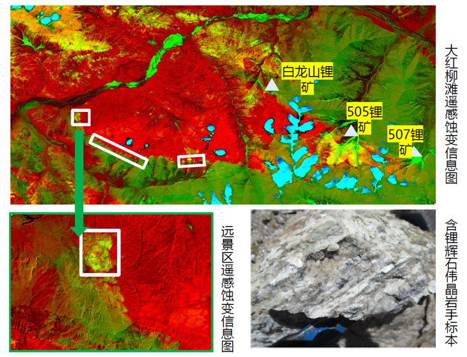
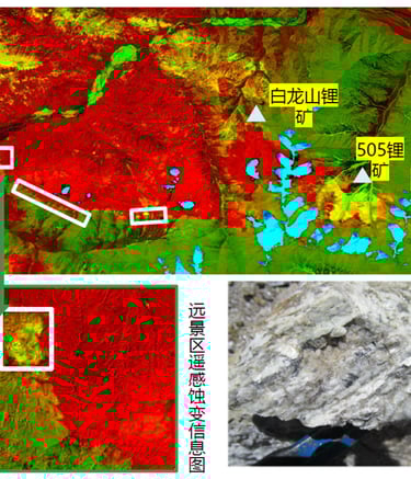
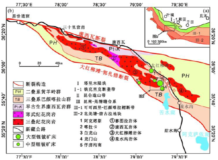
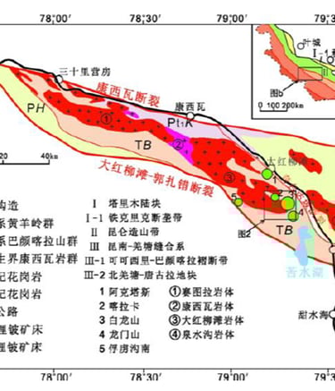
Four lithium–beryllium deposits were discovered in the western Kunlun region of Xinjiang.
A large Cu–Au (copper–gold) deposit was discovered in the Qinghai–Tibet Plateau region.
Service Capabilities
Leveraging a self-developed AI exploration system and an integrated space–air–ground technology platform, GeonMAI combines multi-source satellite remote sensing, geoscience big data, and autonomous exploration equipment to deliver high-efficiency, high-precision, and cost-effective intelligent mineral exploration and resource assessment services worldwide.
Shorter Cycles, Higher Accuracy
With proprietary AI alteration recognition algorithms and mineralization prediction models, GeonMAI completes remote targeting in one-third of the traditional exploration cycle, increasing anomaly detection accuracy to over 85%.
Exploration Efficiency: ×3 improvement
AI Prediction Accuracy: 85%+
Detection Depth and Environmental Adaptability
Through integrated UAV and exploration robot systems combined with AI agent analysis, GeonMAI operates reliably in complex terrains such as high-altitude, arid, desert, and rainforest environments.
Detection Depth (Solid Minerals): 0–2000 m
Adaptability in Complex Environments: 100%
Rapid Delivery
AI-driven automatic modeling and cloud computing enable a fully intelligent workflow from data acquisition to mineralization prediction. Services are billed by area, and prospective mineralization reports can be delivered within 2–3 months.
Delivery Cycle: 2–3 months
Modeling Speed Improvement: ×5 or more
Cost and Risk Control
Through AI-driven data filtering and iterative intelligent modeling, GeonMAI reduces exploration-stage costs and risks to less than 20% of traditional approaches, significantly minimizing investment and human error.
Cost Reduction (Detailed Exploration): 80%
Risk Reduction: Below 30%
Contact


For inquiries about AI-powered mineral exploration solutions, please contact us:
Address: Shangdi East Road, Haidian District, Beijing, China
Phone: (+86) 185 0109 5336
Email: contact@geonmai.com
GeonMAI
AI-Driven Digital Earth Mineral Exploration Services
© 2025. GeonMAI All rights reserved.